AR Sandbox
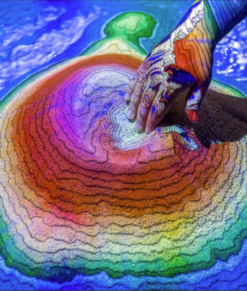
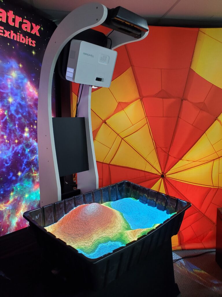
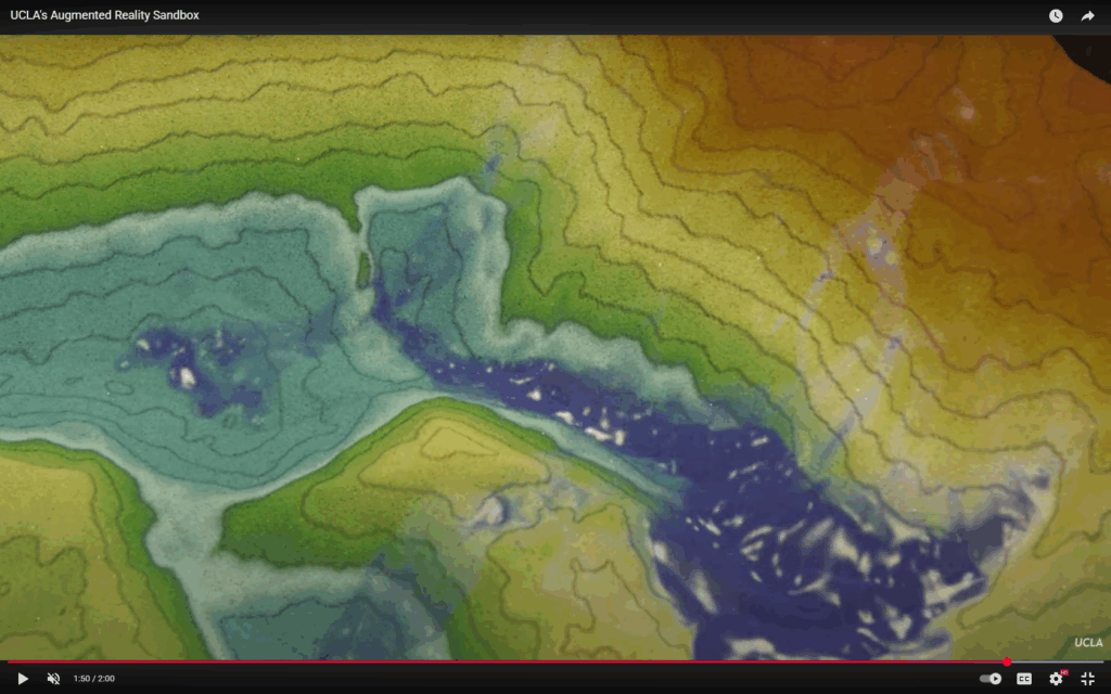
The Augmented Reality Sandbox blends a physical sandbox with real-time digital projection to create an interactive topographic display. As users reshape the sand, the system updates elevation maps, water flow, contour lines, and more. It’s intended for educational and exhibit use, enabling hands-on exploration of geography, hydrology, and earth science.
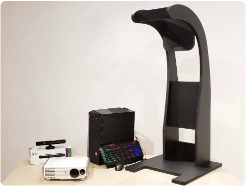
Uses a Kinect sensor to sense changes in the sand surface.
Projects dynamic topographic maps, contour lines, color elevation gradients, and simulated water flow over the sand.
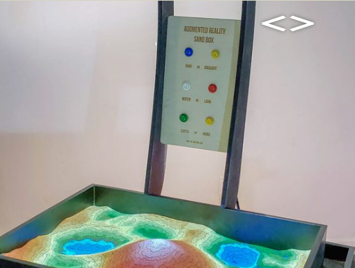
Includes weather controls (e.g. rain, drought) and planet theme controls (Earth/Mars).
Comes with a computer (with software), projector, Kinect, and sandbox.